
Somers topographic map
Click on the map to display elevation.
About this map
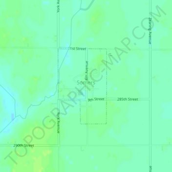
Name: Somers topographic map, elevation, terrain.
Location: Somers, Cedar Township, Calhoun County, Iowa, United States (42.37219 -94.43651 42.38389 -94.42636)
Average elevation: 1,155 ft
Minimum elevation: 1,135 ft
Maximum elevation: 1,171 ft
Calhoun County trails, hiking, mountain biking, running and outdoor activities
Other topographic maps
Click on a map to view its topography, its elevation and its terrain.