Rands topographic map
Interactive map
Click on the map to display elevation.
About this map
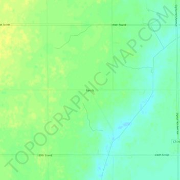
Name: Rands topographic map, elevation, terrain.
Location: Rands, Calhoun County, Iowa, United States (42.30498 -94.59887 42.34498 -94.55887)
Average elevation: 1,175 ft
Minimum elevation: 1,142 ft
Maximum elevation: 1,201 ft
Other topographic maps
Click on a map to view its topography, its elevation and its terrain.
Lake City
United States > Iowa > Calhoun County > Lake City
Lake City, Calhoun County, Iowa, 51449, United States
Average elevation: 1,204 ft
Pomeroy
United States > Iowa > Calhoun County
Pomeroy, Calhoun County, Iowa, 50575, United States
Average elevation: 1,230 ft
Somers
United States > Iowa > Calhoun County
Somers, Calhoun County, Iowa, United States
Average elevation: 1,155 ft