Geolocate

Sandpoint topographic map

Click on the map to display elevation.

About this map

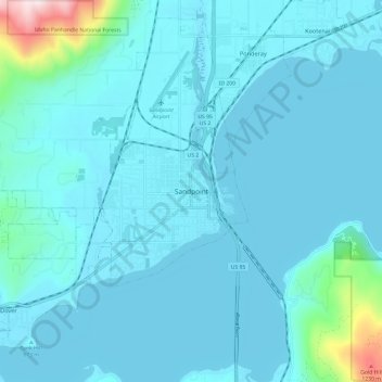
Name: Sandpoint topographic map, elevation, terrain.

Location: Sandpoint, Bonner County, Idaho, 83852, United States (48.23659 -116.59325 48.31659 -116.51325)

Average elevation: 2,254 ft

Minimum elevation: 2,041 ft

Maximum elevation: 4,531 ft

Bonner County trails, hiking, mountain biking, running and outdoor activities

Gear up for your next adventure:

👟Men's Trail Runners - Lightweight footwear for fast-paced exploration and light hiking
🔌USB Car Charger - Car charger for on‑the‑go power needs
💧Water Purification System - Clean water on the trail with reliable purifiers
🔦Compact Flashlight - Reliable flashlight for emergencies
☀️Outdoor Sunscreen - High protection sunscreen for outdoor activities

As an Amazon Associate, this site earns from qualifying purchases at no extra cost to you.