Geolocate

Wren topographic map

Click on the map to display elevation.

About this map
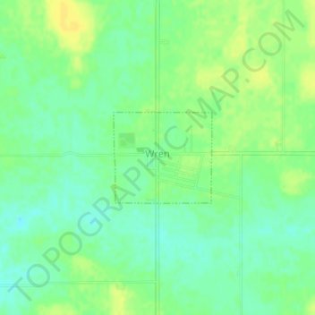
Name: Wren topographic map, elevation, terrain.

Location: Wren, Willshire Township, Van Wert County, Ohio, United States (40.79662 -84.78021 40.80444 -84.76906)

Average elevation: 817 ft

Minimum elevation: 784 ft

Maximum elevation: 853 ft

Other topographic maps

Click on a map to view its topography, its elevation and its terrain.

Wolfcale

United States > Ohio > Van Wert County

Average elevation: 804 ft

Gear up for your next adventure:

⛑️Personal Locator Beacon - Safety beacon for emergencies
🔭Telescopic Hiking Pole - Adjustable pole for hiking stability
📌Outdoor GPS Map App - Apps and devices for digital topographic navigation
🛏️Cold Weather Sleeping Bag - Warm sleeping bag for cold conditions
⛺Backpacking Tents - Weight-optimized shelters for multi-day topographic surveys

As an Amazon Associate, this site earns from qualifying purchases at no extra cost to you.