Geolocate

Wolfcale topographic map

Click on the map to display elevation.

About this map

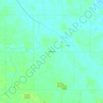
Name: Wolfcale topographic map, elevation, terrain.

Location: Wolfcale, Van Wert County, Ohio, United States (40.86810 -84.78079 40.90810 -84.74079)

Average elevation: 804 ft

Minimum elevation: 787 ft

Maximum elevation: 833 ft

Van Wert County trails, hiking, mountain biking, running and outdoor activities

Other topographic maps

Click on a map to view its topography, its elevation and its terrain.

Middle Point

United States > Ohio > Van Wert County

Average elevation: 778 ft

Convoy

United States > Ohio > Van Wert County

Average elevation: 784 ft

Gear up for your next adventure:

🎒Trekking Poles - Sturdy poles for balance and stability on rough terrain
🔥Plasma Lighters - Windproof lighters that work in any weather condition
🏔️Mountain Trail Maps - High‑detail maps for popular peaks
Camping Coffee Makers - Enjoy premium coffee at the summit or campsite
🔥Fast-Boil Camping Stoves - Efficient cooking systems for quick trail meals

As an Amazon Associate, this site earns from qualifying purchases at no extra cost to you.