
庙宇镇 topographic map
Interactive map
Click on the map to display elevation.
About this map
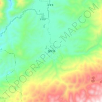
Name: 庙宇镇 topographic map, elevation, terrain.
Location: 庙宇镇, 巫山县, 渝东北三峡库区城镇群, 重庆市, 中国 (30.82545 109.60564 30.90545 109.68564)
Average elevation: 3,314 ft
Minimum elevation: 1,991 ft
Maximum elevation: 5,856 ft
Other topographic maps
Click on a map to view its topography, its elevation and its terrain.