
竹贤乡 topographic map
Interactive map
Click on the map to display elevation.
About this map
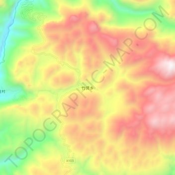
Name: 竹贤乡 topographic map, elevation, terrain.
Location: 竹贤乡, 巫山县, 渝东北三峡库区城镇群, 重庆市, 中国 (31.24321 110.03019 31.32321 110.11019)
Average elevation: 4,547 ft
Minimum elevation: 1,388 ft
Maximum elevation: 7,457 ft
Other topographic maps
Click on a map to view its topography, its elevation and its terrain.