
曲尺乡 topographic map
Interactive map
Click on the map to display elevation.
About this map
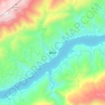
Name: 曲尺乡 topographic map, elevation, terrain.
Location: 曲尺乡, 巫山县, 渝东北三峡库区城镇群, 重庆市, 中国 (30.99496 109.70601 31.07496 109.78601)
Average elevation: 2,041 ft
Minimum elevation: 213 ft
Maximum elevation: 6,093 ft
Other topographic maps
Click on a map to view its topography, its elevation and its terrain.