Geolocate

Kitum Cave topographic map

Click on the map to display elevation.

About this map

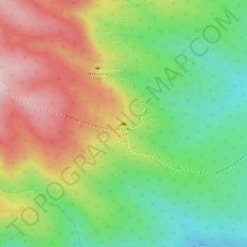
Name: Kitum Cave topographic map, elevation, terrain.

Location: Kitum Cave, Kitum Cave Trail, Trans-Nzoia County, Kenya (1.02971 34.75591 1.02981 34.75601)

Average elevation: 7,746 ft

Minimum elevation: 7,211 ft

Maximum elevation: 8,327 ft

Gear up for your next adventure:

🔋Solar Power Banks - Keep your GPS and phone charged in remote wilderness areas
🩹Survival Bandages - High‑quality bandages for emergencies
🚗GPS Dash Cams - Record your scenic drives through mountain passes and canyons
🌐World Map Poster - Decorative world maps with topographic info
🛏️Cold Weather Sleeping Bag - Warm sleeping bag for cold conditions

As an Amazon Associate, this site earns from qualifying purchases at no extra cost to you.