
Nicobar topographic map
Click on the map to display elevation.
About this map
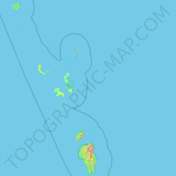
Name: Nicobar topographic map, elevation, terrain.
Location: Nicobar, Andaman and Nicobar Islands, India (6.75627 92.71865 9.25622 93.94684)
Average elevation: 7 ft
Minimum elevation: 0 ft
Maximum elevation: 1,765 ft
Other topographic maps
Click on a map to view its topography, its elevation and its terrain.
Austinabad
India > Andaman and Nicobar Islands > Port Blair Tehsil > Port Blair
Average elevation: 75 ft
Car Nicobar Island
India > Andaman and Nicobar Islands > Car Nicobar > Malacca
Average elevation: 36 ft
Krishna nagar village
India > Andaman and Nicobar Islands > Krishna nagar village
Average elevation: 180 ft
Car Nicobar Island
India > Andaman and Nicobar Islands > Car Nicobar > Tee Top
Average elevation: 36 ft