
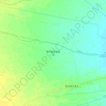
塔尔塔吉克族乡 topographic map
Interactive map
Click on the map to display elevation.
About this map
Name: 塔尔塔吉克族乡 topographic map, elevation, terrain.
Location: 塔尔塔吉克族乡, 阿克陶县, 克孜勒苏柯尔克孜自治州, 新疆维吾尔自治区, 中国 (39.19136 76.03544 39.27136 76.11544)
Average elevation: 4,203 ft
Minimum elevation: 4,173 ft
Maximum elevation: 4,242 ft
Other topographic maps
Click on a map to view its topography, its elevation and its terrain.