
奥依塔克镇 topographic map
Interactive map
Click on the map to display elevation.
About this map
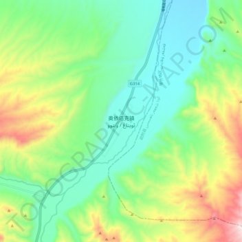
Name: 奥依塔克镇 topographic map, elevation, terrain.
Location: 奥依塔克镇, 阿克陶县, 克孜勒苏柯尔克孜自治州, 新疆维吾尔自治区, 中国 (38.96437 75.51376 39.04437 75.59376)
Average elevation: 6,220 ft
Minimum elevation: 5,430 ft
Maximum elevation: 7,917 ft
Other topographic maps
Click on a map to view its topography, its elevation and its terrain.