
Itigi topographic map
Click on the map to display elevation.
About this map
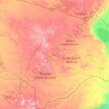
Name: Itigi topographic map, elevation, terrain.
Location: Itigi, Singida Region, Central Zone, Tanzania (-7.53682 33.48730 -5.40535 34.91349)
Average elevation: 4,045 ft
Minimum elevation: 2,470 ft
Maximum elevation: 6,073 ft
Other topographic maps
Click on a map to view its topography, its elevation and its terrain.