
Make a donation
Gear up for your next adventure:
As an Amazon Associate, this site earns from qualifying purchases at no extra cost to you.
Grangerland topographic map
Click on the map to display elevation.
Make a donation
Gear up for your next adventure:
As an Amazon Associate, this site earns from qualifying purchases at no extra cost to you.
About this map
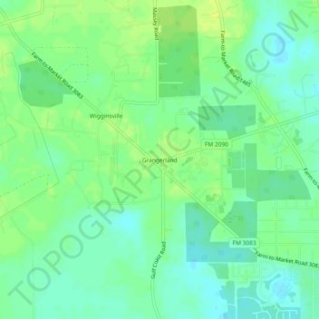
Name: Grangerland topographic map, elevation, terrain.
Location: Grangerland, Montgomery County, Texas, 77306, United States (30.23271 -95.34938 30.27271 -95.30938)
Average elevation: 151 ft
Minimum elevation: 125 ft
Maximum elevation: 177 ft
Montgomery County trails, hiking, mountain biking, running and outdoor activities
Make a donation
Gear up for your next adventure:
As an Amazon Associate, this site earns from qualifying purchases at no extra cost to you.
Other topographic maps
Click on a map to view its topography, its elevation and its terrain.
Make a donation
Gear up for your next adventure:
As an Amazon Associate, this site earns from qualifying purchases at no extra cost to you.
Lazy River
United States > Texas > Montgomery County > The Woodlands > Wild Ridge
Average elevation: 144 ft
Make a donation
Gear up for your next adventure:
As an Amazon Associate, this site earns from qualifying purchases at no extra cost to you.