
榕木村 topographic map
Interactive map
Click on the map to display elevation.
About this map
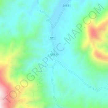
Name: 榕木村 topographic map, elevation, terrain.
Location: 榕木村, 罗定市, 云浮市, 广东省, 中国 (22.62166 111.19318 22.66166 111.23318)
Average elevation: 1,617 ft
Minimum elevation: 955 ft
Maximum elevation: 3,540 ft
Other topographic maps
Click on a map to view its topography, its elevation and its terrain.