
双东街道 topographic map
Interactive map
Click on the map to display elevation.
About this map
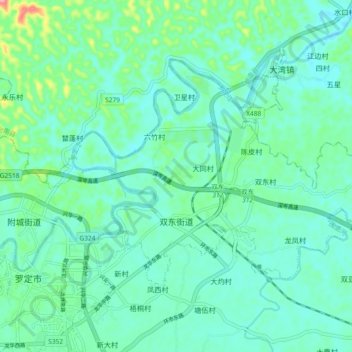
Name: 双东街道 topographic map, elevation, terrain.
Location: 双东街道, 罗定市, 云浮市, 广东省, 中国 (22.76764 111.56874 22.82434 111.66122)
Average elevation: 161 ft
Minimum elevation: 85 ft
Maximum elevation: 469 ft
Other topographic maps
Click on a map to view its topography, its elevation and its terrain.