
Grant topographic map
Click on the map to display elevation.
About this map
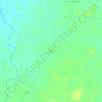
Name: Grant topographic map, elevation, terrain.
Location: Grant, Pleasant Township, Hardin County, Ohio, United States (40.69061 -83.58798 40.73061 -83.54798)
Average elevation: 932 ft
Minimum elevation: 909 ft
Maximum elevation: 961 ft
Hardin County trails, hiking, mountain biking, running and outdoor activities
Other topographic maps
Click on a map to view its topography, its elevation and its terrain.