
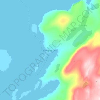
Qasigiannguit topographic map
Interactive map
Click on the map to display elevation.
About this map
Name: Qasigiannguit topographic map, elevation, terrain.
Location: Qasigiannguit, Qeqertalik, 3951, Greenland (68.77938 -51.23335 68.85938 -51.15335)
Average elevation: 253 ft
Minimum elevation: -10 ft
Maximum elevation: 1,339 ft
Other topographic maps
Click on a map to view its topography, its elevation and its terrain.