Geolocate

Aldergrove topographic map

Click on the map to display elevation.

About this map

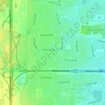
Name: Aldergrove topographic map, elevation, terrain.

Location: Aldergrove, West Jasper Place, Edmonton, Alberta, Canada (53.51216 -113.65222 53.52161 -113.62993)

Average elevation: 2,241 ft

Minimum elevation: 2,208 ft

Maximum elevation: 2,283 ft

Other topographic maps

Click on a map to view its topography, its elevation and its terrain.

William Hawrelak Park

Canada > Alberta > Edmonton

Average elevation: 2,129 ft

Horseshoe Lake

Canada > Alberta > Edmonton

Average elevation: 2,231 ft

landslide

Canada > Alberta > Edmonton

Average elevation: 2,192 ft

Ormsby Park

Canada > Alberta > Edmonton

Average elevation: 2,257 ft

Gear up for your next adventure:

🦺Reflective Outdoor Gear - Safety gear for low‑light conditions
🪑Portable Camp Table - Compact table for campsite meals
🖼️Topo Map Wall Art - Decorative topographic prints of famous peaks and regions
🌄Hiking Binoculars - Compact binoculars for scenic views and trail spotting
📻Weather Alert Radios - Stay informed of storm risks while off-the-grid

As an Amazon Associate, this site earns from qualifying purchases at no extra cost to you.