
Omaha topographic map
Click on the map to display elevation.
About this map
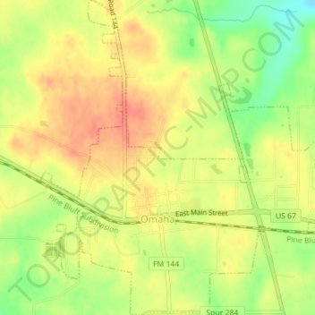
Name: Omaha topographic map, elevation, terrain.
Location: Omaha, Morris County, Texas, 75571, United States (33.17168 -94.75724 33.20111 -94.72406)
Average elevation: 394 ft
Minimum elevation: 292 ft
Maximum elevation: 459 ft
Morris County trails, hiking, mountain biking, running and outdoor activities
Other topographic maps
Click on a map to view its topography, its elevation and its terrain.
Daingerfield
United States > Texas > Morris County > Daingerfield > Daingerfield
Average elevation: 390 ft