Geolocate

Nabb topographic map

Click on the map to display elevation.

About this map

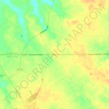
Name: Nabb topographic map, elevation, terrain.

Location: Nabb, Clark County, Indiana, United States (38.58562 -85.65274 38.62562 -85.61274)

Average elevation: 696 ft

Minimum elevation: 623 ft

Maximum elevation: 735 ft

Clark County trails, hiking, mountain biking, running and outdoor activities

Other topographic maps

Click on a map to view its topography, its elevation and its terrain.

Oak Park

United States > Indiana > Clark County

Average elevation: 459 ft

New Washington

United States > Indiana > Clark County

Average elevation: 702 ft

Utica

United States > Indiana > Clark County

Average elevation: 466 ft

Memphis

United States > Indiana > Clark County

Average elevation: 502 ft

Gear up for your next adventure:

🍳Camping Cook Set - Complete cookware for outdoor meals
📖Nature Tracking Books - Learn to track wildlife and terrain
🪶Compact Camp Shovel - Folding shovel for campsite tasks
🪶Thermal Camp Blanket - Extra warmth for cold nights
🦶Carbon Trekking Poles - Reduce knee impact on steep descents with ultra-light poles

As an Amazon Associate, this site earns from qualifying purchases at no extra cost to you.