Geolocate

Linkwood topographic map

Click on the map to display elevation.

About this map

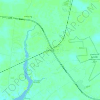
Name: Linkwood topographic map, elevation, terrain.

Location: Linkwood, Dorchester County, Maryland, 21835, United States (38.51984 -75.96605 38.55984 -75.92605)

Average elevation: 16 ft

Minimum elevation: -7 ft

Maximum elevation: 33 ft

Dorchester County trails, hiking, mountain biking, running and outdoor activities

Other topographic maps

Click on a map to view its topography, its elevation and its terrain.

Vienna

United States > Maryland > Dorchester County

Average elevation: 10 ft

Gear up for your next adventure:

🧥Waterproof Jacket for Hiking - Breathable and rugged rain jacket for outdoor excursions
🧭Hiking Compass - Precision compass for reliable navigation in the wilderness
🥾Women's Hiking Boots - Top-rated trail boots with ankle support and superior grip
📖Nature Tracking Books - Learn to track wildlife and terrain
🩳Quick‑Dry Hiking Shorts - Comfortable and quick‑dry shorts for summer hiking

As an Amazon Associate, this site earns from qualifying purchases at no extra cost to you.