
Onawa topographic map
Interactive map
Click on the map to display elevation.
About this map
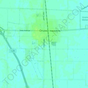
Name: Onawa topographic map, elevation, terrain.
Location: Onawa, Monona County, Iowa, 51040, United States (41.99781 -96.12938 42.03991 -96.05917)
Average elevation: 1,050 ft
Minimum elevation: 1,040 ft
Maximum elevation: 1,066 ft
Other topographic maps
Click on a map to view its topography, its elevation and its terrain.
Moorhead
United States > Iowa > Monona County
Moorhead, Monona County, Iowa, United States
Average elevation: 1,158 ft
Whiting
United States > Iowa > Monona County
Whiting, Monona County, Iowa, United States
Average elevation: 1,060 ft