
Whiting topographic map
Interactive map
Click on the map to display elevation.
About this map
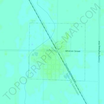
Name: Whiting topographic map, elevation, terrain.
Location: Whiting, Monona County, Iowa, United States (42.11957 -96.16078 42.13467 -96.14088)
Average elevation: 1,060 ft
Minimum elevation: 1,050 ft
Maximum elevation: 1,070 ft
Other topographic maps
Click on a map to view its topography, its elevation and its terrain.
Onawa
United States > Iowa > Monona County
Onawa, Monona County, Iowa, 51040, United States
Average elevation: 1,050 ft
Moorhead
United States > Iowa > Monona County
Moorhead, Monona County, Iowa, United States
Average elevation: 1,158 ft