
Megrine topographic map
Interactive map
Click on the map to display elevation.
About this map
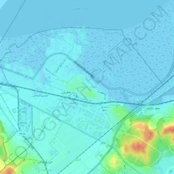
Name: Megrine topographic map, elevation, terrain.
Location: Megrine, Ben Arous, 2033, Tunisie (36.75551 10.20580 36.78766 10.26402)
Average elevation: 20 ft
Minimum elevation: -26 ft
Maximum elevation: 167 ft
Other topographic maps
Click on a map to view its topography, its elevation and its terrain.