
Radès topographic map
Interactive map
Click on the map to display elevation.
About this map
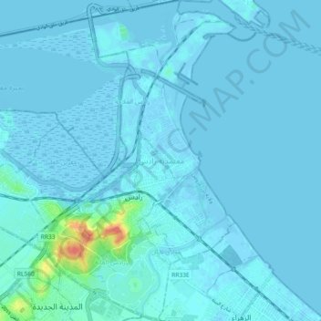
Name: Radès topographic map, elevation, terrain.
Location: Radès, Ben Arous, 2040, Tunisie (36.73958 10.24681 36.81255 10.30713)
Average elevation: 10 ft
Minimum elevation: -23 ft
Maximum elevation: 167 ft
Other topographic maps
Click on a map to view its topography, its elevation and its terrain.