
Make a donation
Gear up for your next adventure:
As an Amazon Associate, this site earns from qualifying purchases at no extra cost to you.
Sulz topographic map
Click on the map to display elevation.
Make a donation
Gear up for your next adventure:
As an Amazon Associate, this site earns from qualifying purchases at no extra cost to you.
About this map
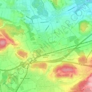
Name: Sulz topographic map, elevation, terrain.
Location: Sulz, Rickenbach, Bezirk Winterthur, Zürich, 8545, Schweiz (47.51879 8.76949 47.55879 8.80949)
Average elevation: 1,529 ft
Minimum elevation: 1,312 ft
Maximum elevation: 1,844 ft
Make a donation
Gear up for your next adventure:
As an Amazon Associate, this site earns from qualifying purchases at no extra cost to you.
Other topographic maps
Click on a map to view its topography, its elevation and its terrain.
Schlatt (ZH)
Schweiz > Zürich > Bezirk Winterthur
Das hüglige und stark bewaldete Gemeindegebiet wurde wohl erst im 8. Jh. besiedelt. Alemannischen Ursprungs sind die Dörfer Schlatt und Nussberg. Ihre erste schriftliche Erwähnung wird geliefert von Schenkungsurkunden an das Kloster St. Gallen, die ältere erwähnt 744 oder 746 den Ort Nuzperech (Nussberg),…
Average elevation: 2,192 ft
Make a donation
Gear up for your next adventure:
As an Amazon Associate, this site earns from qualifying purchases at no extra cost to you.
Seuzach
Schweiz > Zürich > Bezirk Winterthur
Das Gemeindewappen wurde von dem Familienwappen der bis ins 15. Jahrhundert hier ansässige Ritter vom Heimenstein übernommen. Ihr Stammsitz befand sich auf einer Anhöhe nördlich des Dorfes.
Average elevation: 1,545 ft
Make a donation
Gear up for your next adventure:
As an Amazon Associate, this site earns from qualifying purchases at no extra cost to you.