Geolocate

Chwilog topographic map

Click on the map to display elevation.

About this map

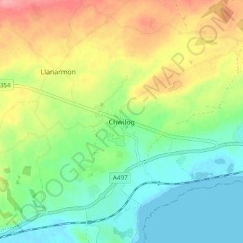
Name: Chwilog topographic map, elevation, terrain.

Location: Chwilog, Gwynedd, Wales, LL53 6SL, United Kingdom (52.89945 -4.34968 52.93945 -4.30968)

Average elevation: 125 ft

Minimum elevation: 0 ft

Maximum elevation: 322 ft

Other topographic maps

Click on a map to view its topography, its elevation and its terrain.

Llyn y Dywarchen

United Kingdom > Wales > Gwynedd > Rhyd-ddu

Average elevation: 856 ft

Betws Garmon

United Kingdom > Wales > Gwynedd

Average elevation: 935 ft

Llyn Cau

United Kingdom > Wales > Gwynedd

Average elevation: 1,821 ft

Gear up for your next adventure:

⛑️Personal Locator Beacon - Safety beacon for emergencies
🧭Pro Hiking Compasses - High-accuracy liquid-filled compasses for topographic orientation
🔌USB Car Charger - Car charger for on‑the‑go power needs
🧤Tactile Hiking Gloves - Keep hands warm while operating GPS and smartphone screens
🔭Stargazing Telescopes - Perfect for camping in low-light pollution areas shown on maps

As an Amazon Associate, this site earns from qualifying purchases at no extra cost to you.