
Black Bear Ridge topographic map
Click on the map to display elevation.
About this map
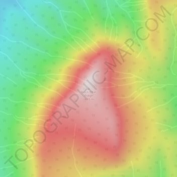
Name: Black Bear Ridge topographic map, elevation, terrain.
Average elevation: 4,311 ft
Minimum elevation: 3,074 ft
Maximum elevation: 5,528 ft
Other topographic maps
Click on a map to view its topography, its elevation and its terrain.
Budd Lake
Canada > British Columbia > Peace River Regional District > Area B (Finlay Valley/Beatton Valley)
Average elevation: 3,688 ft
Reef Canyon
Canada > British Columbia > Peace River Regional District > Area B (Finlay Valley/Beatton Valley)
Average elevation: 3,632 ft