
Robstown topographic map
Click on the map to display elevation.
About this map
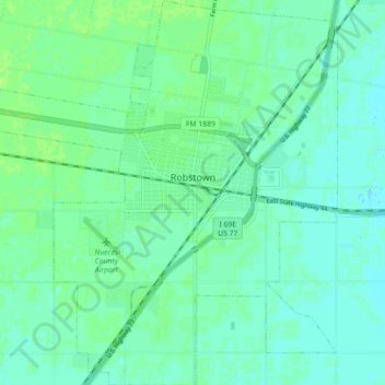
Name: Robstown topographic map, elevation, terrain.
Location: Robstown, Nueces County, Texas, United States (27.74776 -97.71880 27.82638 -97.63546)
Average elevation: 79 ft
Minimum elevation: 66 ft
Maximum elevation: 95 ft
Nueces County trails, hiking, mountain biking, running and outdoor activities
Other topographic maps
Click on a map to view its topography, its elevation and its terrain.