
Velmula topographic map
Click on the map to display elevation.
About this map
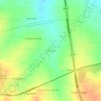
Name: Velmula topographic map, elevation, terrain.
Location: Velmula, Ramachandrapuram mandal, Sangareddy, Telangana, India (17.45621 78.21867 17.49621 78.25867)
Average elevation: 1,818 ft
Minimum elevation: 1,755 ft
Maximum elevation: 1,877 ft
Other topographic maps
Click on a map to view its topography, its elevation and its terrain.