Geolocate

Walker topographic map

Click on the map to display elevation.

About this map

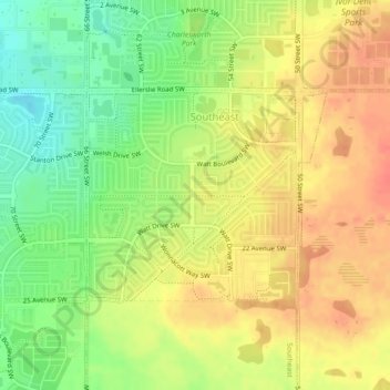
Name: Walker topographic map, elevation, terrain.

Location: Walker, Southeast, Edmonton, Alberta, Canada (53.41029 -113.44273 53.42496 -113.41469)

Average elevation: 2,349 ft

Minimum elevation: 2,257 ft

Maximum elevation: 2,418 ft

Gear up for your next adventure:

🔋Rechargeable Batteries - Power up your outdoor devices
🧦Merino Wool Socks - Moisture-wicking, blister-preventing socks for long treks
🌡️Portable Weather Meter - Track weather conditions on the trail
🧤Hiking Gloves - Protective gloves for rugged trails
🧢Sun Protection Hats - Wide-brimmed and UPF-rated hats for high-altitude sun safety

As an Amazon Associate, this site earns from qualifying purchases at no extra cost to you.