
Callow Hill topographic map
Click on the map to display elevation.
About this map
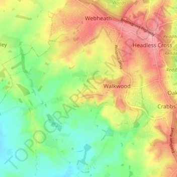
Name: Callow Hill topographic map, elevation, terrain.
Average elevation: 387 ft
Minimum elevation: 233 ft
Maximum elevation: 551 ft
Other topographic maps
Click on a map to view its topography, its elevation and its terrain.
Morton Stanley Park
United Kingdom > England > Worcestershire > Redditch > Callow Hill
Average elevation: 423 ft
Arrow Valley Country Park
United Kingdom > England > Worcestershire > Redditch
Average elevation: 285 ft