
Lake Caroline topographic map
Click on the map to display elevation.
About this map
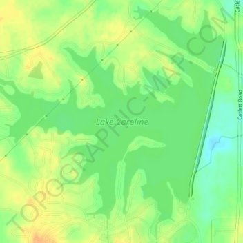
Name: Lake Caroline topographic map, elevation, terrain.
Location: Lake Caroline, Madison County, Mississippi, United States (32.54417 -90.17391 32.57265 -90.13848)
Average elevation: 285 ft
Minimum elevation: 233 ft
Maximum elevation: 331 ft
Madison County trails, hiking, mountain biking, running and outdoor activities
Other topographic maps
Click on a map to view its topography, its elevation and its terrain.
Traceland North
United States > Mississippi > Madison County > Madison > Traceland North
Average elevation: 335 ft