
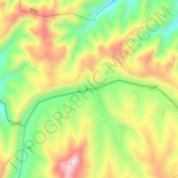
集场 topographic map
Interactive map
Click on the map to display elevation.
About this map
Name: 集场 topographic map, elevation, terrain.
Location: 集场, 永靖县, 临夏回族自治州, 甘肃省, 中国 (36.03407 103.41587 36.07407 103.45587)
Average elevation: 7,598 ft
Minimum elevation: 6,808 ft
Maximum elevation: 8,448 ft
Other topographic maps
Click on a map to view its topography, its elevation and its terrain.