
Make a donation
Gear up for your next adventure:
As an Amazon Associate, this site earns from qualifying purchases at no extra cost to you.
Olifants topographic map
Click on the map to display elevation.
Make a donation
Gear up for your next adventure:
As an Amazon Associate, this site earns from qualifying purchases at no extra cost to you.
About this map
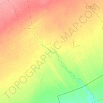
Name: Olifants topographic map, elevation, terrain.
Location: Olifants, Khomas, Namibia (-23.57058 18.09764 -23.31864 18.31952)
Average elevation: 4,344 ft
Minimum elevation: 4,226 ft
Maximum elevation: 4,455 ft
Make a donation
Gear up for your next adventure:
As an Amazon Associate, this site earns from qualifying purchases at no extra cost to you.
Other topographic maps
Click on a map to view its topography, its elevation and its terrain.
Windhoek
Windhoek has over 300 sunny days per year. It experiences a hot semi-arid climate (BSh) according to Köppen climate classification as the annual average temperature is above 18 °C (64 °F). The temperature throughout the year would be called mild, due to altitude influence. The annual average high and low…
Average elevation: 5,935 ft