
Mount Tolmie topographic map
Click on the map to display elevation.
About this map
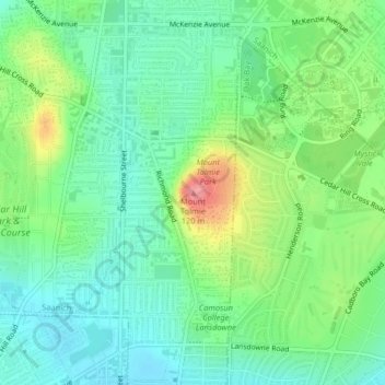
Name: Mount Tolmie topographic map, elevation, terrain.
Average elevation: 171 ft
Minimum elevation: 72 ft
Maximum elevation: 381 ft
Other topographic maps
Click on a map to view its topography, its elevation and its terrain.
Maltwood Park
Canada > British Columbia > Capital Regional District > Saanich
Average elevation: 125 ft
Cecelia Creek Falls Park
Canada > British Columbia > Capital Regional District > Saanich
Average elevation: 118 ft