
郏县 topographic map
Interactive map
Click on the map to display elevation.
About this map
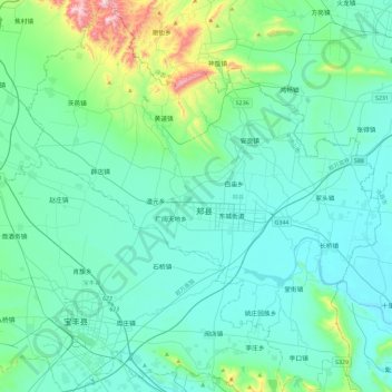
Name: 郏县 topographic map, elevation, terrain.
Location: 郏县, 平顶山市, 河南省, 中国 (33.79698 112.99538 34.18086 113.41492)
Average elevation: 568 ft
Minimum elevation: 256 ft
Maximum elevation: 2,474 ft
Other topographic maps
Click on a map to view its topography, its elevation and its terrain.