
荞麦山 topographic map
Interactive map
Click on the map to display elevation.
About this map
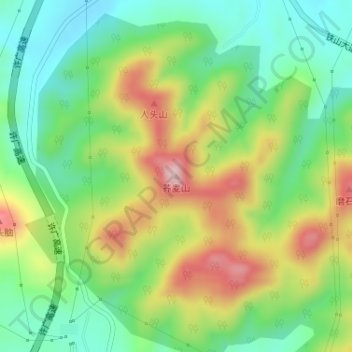
Name: 荞麦山 topographic map, elevation, terrain.
Location: 荞麦山, 平顶山市, 河南省, 中国 (33.31974 113.44303 33.31984 113.44313)
Average elevation: 771 ft
Minimum elevation: 440 ft
Maximum elevation: 1,276 ft
Other topographic maps
Click on a map to view its topography, its elevation and its terrain.