
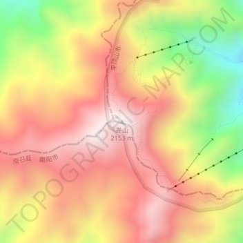
尧山 topographic map
Interactive map
Click on the map to display elevation.
About this map
Name: 尧山 topographic map, elevation, terrain.
Location: 尧山, 平顶山市, 河南省, 中国 (33.72023 112.24440 33.72033 112.24450)
Average elevation: 5,863 ft
Minimum elevation: 4,314 ft
Maximum elevation: 6,919 ft
Other topographic maps
Click on a map to view its topography, its elevation and its terrain.