
Fort Stewart topographic map
Click on the map to display elevation.
About this map
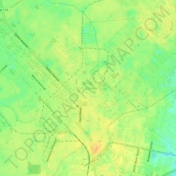
Name: Fort Stewart topographic map, elevation, terrain.
Location: Fort Stewart, Liberty County, Georgia, 31314, United States (31.84943 -81.62777 31.88943 -81.58777)
Average elevation: 85 ft
Minimum elevation: 23 ft
Maximum elevation: 128 ft
Liberty County trails, hiking, mountain biking, running and outdoor activities
Other topographic maps
Click on a map to view its topography, its elevation and its terrain.