Geolocate

Allenhurst topographic map

Click on the map to display elevation.

About this map

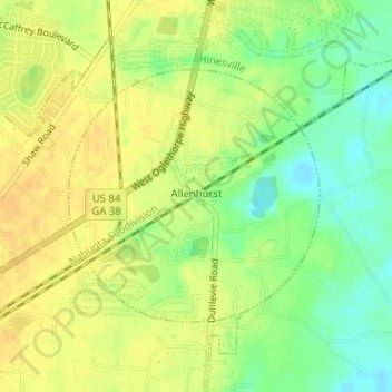
Name: Allenhurst topographic map, elevation, terrain.

Location: Allenhurst, Liberty County, Georgia, 31310, United States (31.77526 -81.61799 31.79263 -81.59763)

Average elevation: 66 ft

Minimum elevation: 7 ft

Maximum elevation: 105 ft

Liberty County trails, hiking, mountain biking, running and outdoor activities

Other topographic maps

Click on a map to view its topography, its elevation and its terrain.

Fort Stewart

United States > Georgia > Liberty County

Average elevation: 85 ft

Crossroads

United States > Georgia > Liberty County > Riceboro

Average elevation: 20 ft

Gear up for your next adventure:

📶Satellite Messenger - Communication device off‑grid
🪶Fire Starter Kit - Reliable fire starter for survival and camping
🩳Quick‑Dry Hiking Shorts - Comfortable and quick‑dry shorts for summer hiking
🍳Camping Cook Set - Complete cookware for outdoor meals
🧭Orienteering Set - Complete compass and map reading kit

As an Amazon Associate, this site earns from qualifying purchases at no extra cost to you.