
Kutus topographic map
Click on the map to display elevation.
About this map
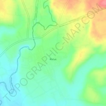
Name: Kutus topographic map, elevation, terrain.
Location: Kutus, Mwea East, Kirinyaga County, Central Kenya, Kenya (-0.58056 37.31754 -0.56251 37.33263)
Average elevation: 4,216 ft
Minimum elevation: 4,104 ft
Maximum elevation: 4,383 ft