
峪口镇 topographic map
Interactive map
Click on the map to display elevation.
About this map
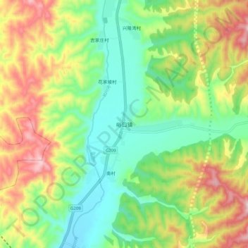
Name: 峪口镇 topographic map, elevation, terrain.
Location: 峪口镇, 方山县, 吕梁市, 山西省, 中国 (37.70110 111.17763 37.78110 111.25763)
Average elevation: 3,960 ft
Minimum elevation: 3,363 ft
Maximum elevation: 4,915 ft
Other topographic maps
Click on a map to view its topography, its elevation and its terrain.