Geolocate

Hauser Lake topographic map

Click on the map to display elevation.

About this map

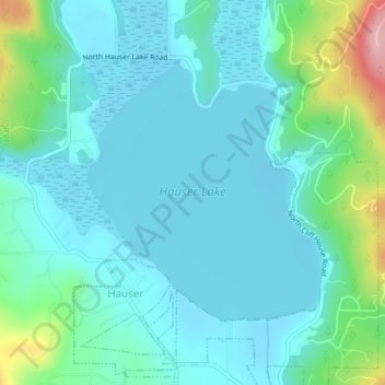
Name: Hauser Lake topographic map, elevation, terrain.

Location: Hauser Lake, Hauser, Kootenai County, Idaho, United States (47.77029 -117.03284 47.78828 -117.00805)

Average elevation: 2,283 ft

Minimum elevation: 2,169 ft

Maximum elevation: 2,779 ft

Kootenai County trails, hiking, mountain biking, running and outdoor activities

Gear up for your next adventure:

📦Gear Storage Bags - Organize and protect outdoor equipment
🪶LED Camping Lantern - Bright lantern for camp lighting
🏕️Family Camping Gear - Essentials for group camping trips
🔦Powerful Headlamps - Ultra-bright hands-free lighting for night navigation
🔋Solar Power Banks - Keep your GPS and phone charged in remote wilderness areas

As an Amazon Associate, this site earns from qualifying purchases at no extra cost to you.