
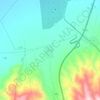
旧广武 topographic map
Interactive map
Click on the map to display elevation.
About this map
Name: 旧广武 topographic map, elevation, terrain.
Location: 旧广武, 山阴县, 朔州市, 山西省, 中国 (39.19269 112.74808 39.23269 112.78808)
Average elevation: 3,980 ft
Minimum elevation: 3,593 ft
Maximum elevation: 5,046 ft
Other topographic maps
Click on a map to view its topography, its elevation and its terrain.