
北周庄镇 topographic map
Interactive map
Click on the map to display elevation.
About this map
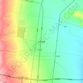
Name: 北周庄镇 topographic map, elevation, terrain.
Location: 北周庄镇, 山阴县, 朔州市, 山西省, 中国 (39.55804 112.78284 39.63804 112.86284)
Average elevation: 3,504 ft
Minimum elevation: 3,323 ft
Maximum elevation: 3,839 ft
Other topographic maps
Click on a map to view its topography, its elevation and its terrain.