
山阴县 topographic map
Interactive map
Click on the map to display elevation.
About this map
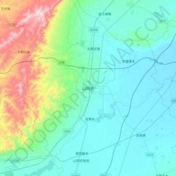
Name: 山阴县 topographic map, elevation, terrain.
Location: 山阴县, 西城管理委员会, 山阴县, 朔州市, 山西省, 中国 (39.36588 112.64979 39.68588 112.96979)
Average elevation: 3,868 ft
Minimum elevation: 3,278 ft
Maximum elevation: 6,440 ft
Other topographic maps
Click on a map to view its topography, its elevation and its terrain.