
Celestine topographic map
Click on the map to display elevation.
About this map
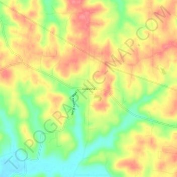
Name: Celestine topographic map, elevation, terrain.
Location: Celestine, Dubois County, Indiana, 47580, United States (38.36478 -86.79916 38.40478 -86.75916)
Average elevation: 607 ft
Minimum elevation: 469 ft
Maximum elevation: 719 ft
Dubois County trails, hiking, mountain biking, running and outdoor activities
Other topographic maps
Click on a map to view its topography, its elevation and its terrain.