
Holland topographic map
Click on the map to display elevation.
About this map
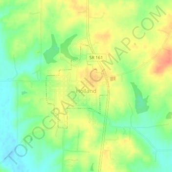
Name: Holland topographic map, elevation, terrain.
Location: Holland, Dubois County, Indiana, United States (38.23972 -87.04415 38.25299 -87.03163)
Average elevation: 509 ft
Minimum elevation: 433 ft
Maximum elevation: 584 ft
Dubois County trails, hiking, mountain biking, running and outdoor activities
Other topographic maps
Click on a map to view its topography, its elevation and its terrain.